Get undisturbed hydraulic potential due to recharge
get_recharge_undisturbed_potential.RdGet undisturbed hydraulic potential due to recharge. This is the water table potential (head or discharge potential) without any well pumping.
get_recharge_undisturbed_potential(loc, aquifer)
Arguments
| loc | Location for evaluating Vector location as c(x,y) or data.frame containing x, y columns |
|---|---|
| aquifer | Aquifer containing containing |
Value
Returns hydraulic potential at the location(s) using helper functions for each recharge_type / aquifer_type. If aquifer_type=="confined", hydraulic head is returned. If it is "unconfined", discharge potential is returned. Note that these functions are not exported to the package namespace:
1. Constant flow, "F":
get_recharge_flow_potential()2. Head boundaries, "H": not yet implemented
3. Recharge divide, "D":
get_recharge_divide_potential()
Details
Note that this function ignores any boundaries, meaning the user must ensure that the recharge does not conflict with boundaries. For example, if uniform flow is specified, it will pass through any boundary, including no-flow boundaries.
The aquifer and aquifer$recharge must be correctly specified using define_aquifer and/or define_recharge.
Examples
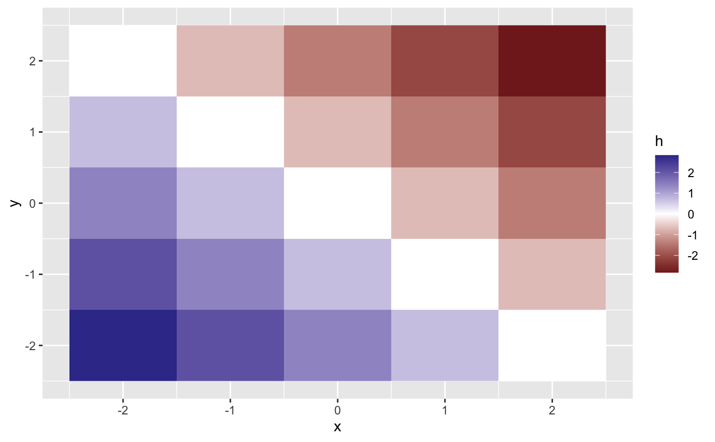
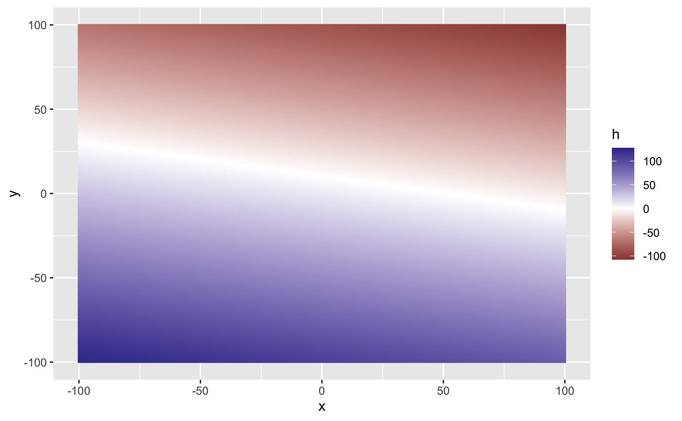
## Flow - confined aquifer recharge_params <- list(recharge_type="F",recharge_vector=c(0,0,1,1),flow=1,x0=0,y0=0) aquifer <- define_aquifer("confined",1,h0=0,z0=1,recharge=recharge_params) get_recharge_undisturbed_potential(c(1/sqrt(2),1/sqrt(2)), aquifer)#> [1] -1loc <- expand.grid(x=-2:2,y=-2:2) loc$h <- get_recharge_undisturbed_potential(loc, aquifer) library(ggplot2) ggplot(loc) + geom_raster(aes(x,y,fill=h)) + scale_fill_gradient2()recharge_params <- list(recharge_type="F", recharge_vector=c(-1,-5,0,0),flow=1,x0=0,y0=0) aquifer <- define_aquifer("confined",1,h0=10,z0=1,recharge=recharge_params) loc <- expand.grid(x=-100:100,y=-100:100) loc$h <- get_recharge_undisturbed_potential(loc, aquifer) ggplot(loc) + geom_raster(aes(x,y,fill=h)) + scale_fill_gradient2()